Automatic & Video-Based Traffic Surveys
Advanced camera-based surveys to capture traffic volume, speed, and vehicle movement.
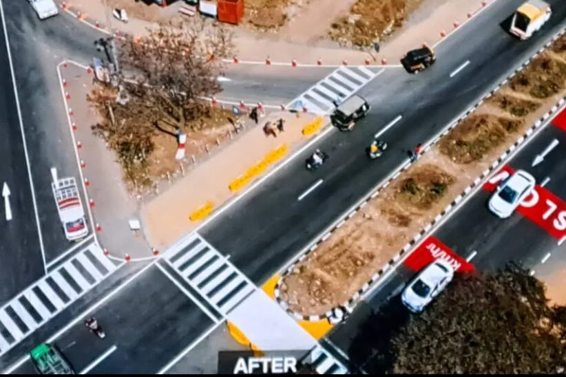
Advanced camera-based surveys to capture traffic volume, speed, and vehicle movement.
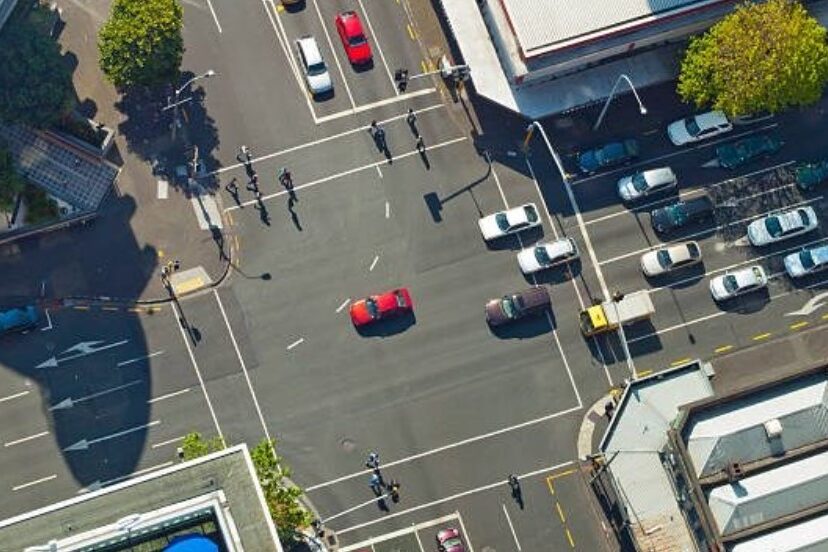
Accurate manual analysis of recorded traffic videos for complex intersections.
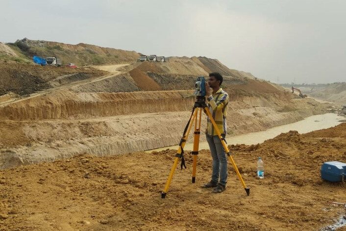
Precise mapping of natural and man-made features using modern survey instruments.
Comprehensive surveys supporting DPR preparation including alignment and traffic studies.
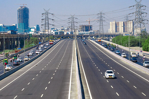
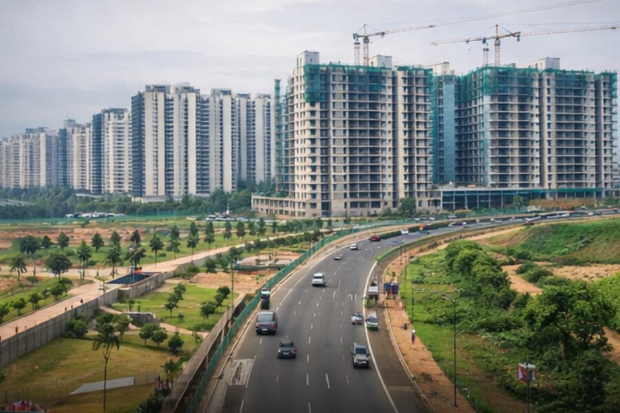
Data-driven surveys supporting efficient transport planning and mobility solutions.
Surveys supporting land use planning and smart city initiatives.
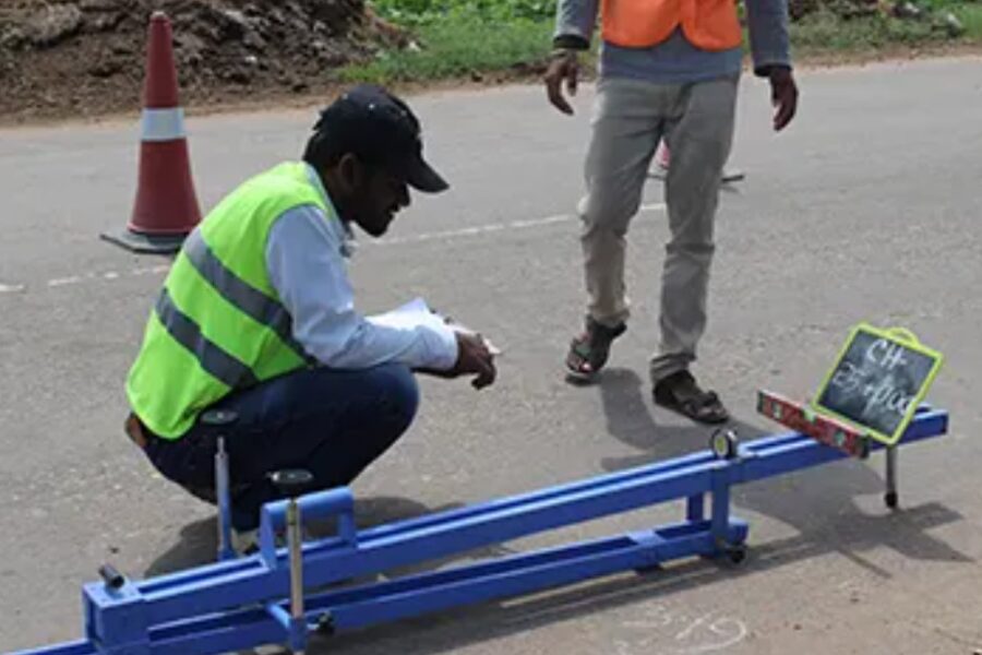
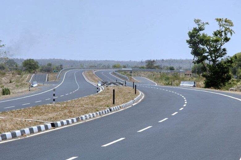
Specialized surveys covering pavement condition and roadway geometry.
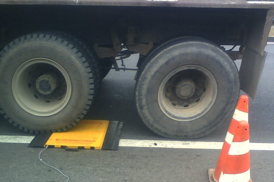
Measurement of vehicle axle loads to assess pavement impact.
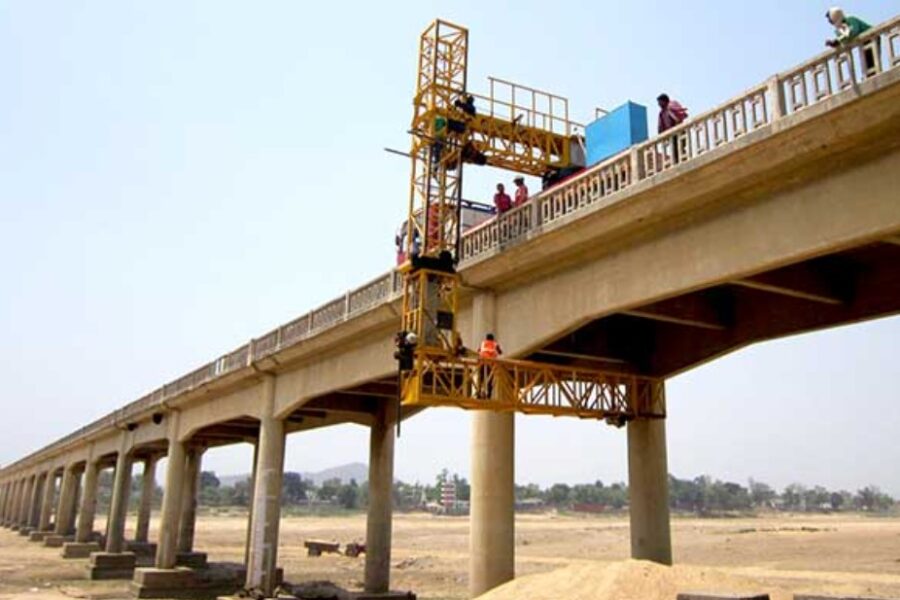
Safe bridge inspections using specialized access units.
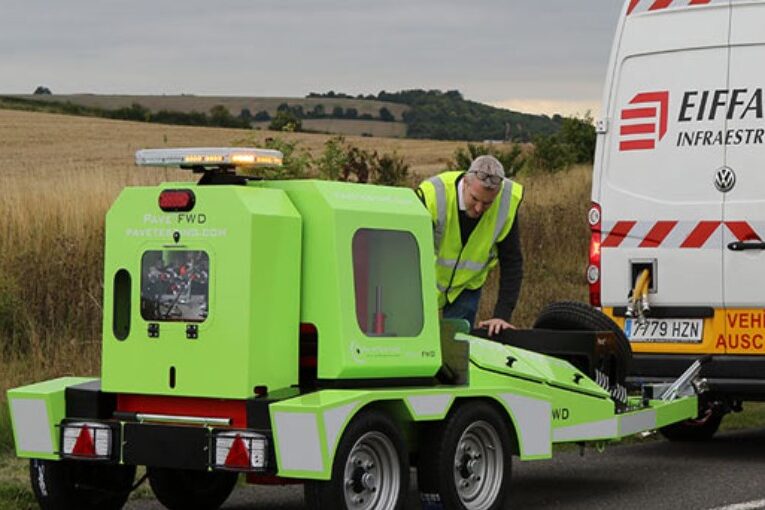
Evaluation of pavement strength for rehabilitation planning.
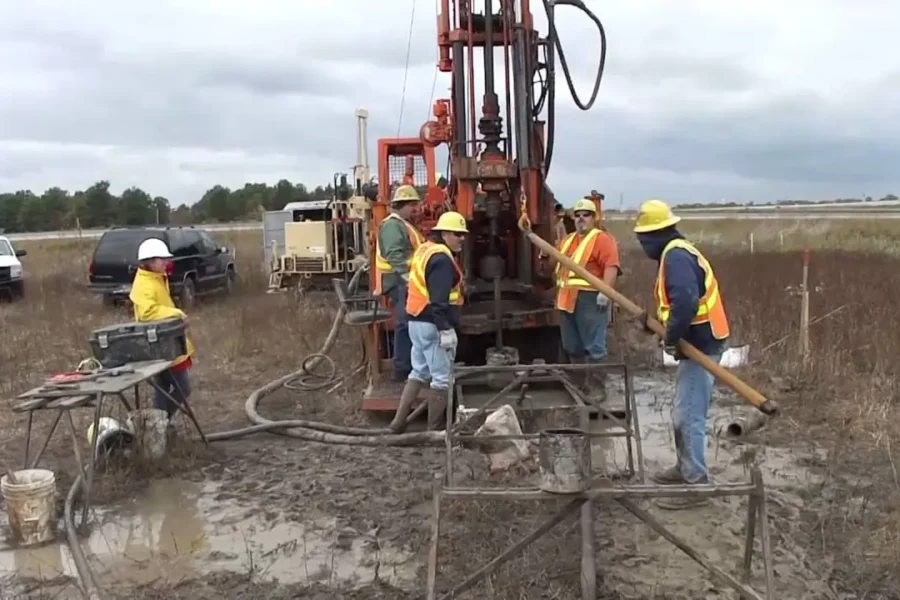
Soil and subsurface investigations for safe foundation design.
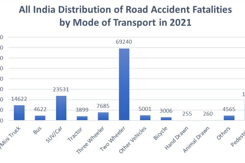
Identification of accident-prone locations to improve safety.
Advanced pavement evaluation for network-level maintenance.
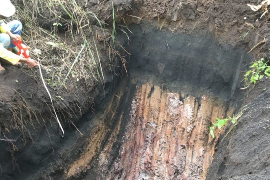
Field and laboratory testing to determine soil properties.
Installation of markings and reflective studs for road safety.
Demarcation of road land boundaries to prevent encroachments.
Documentation of affected properties for compliant development.
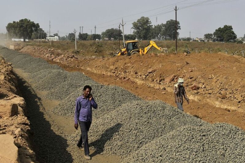
Construction of rural and PMGSY roads to improve connectivity.